
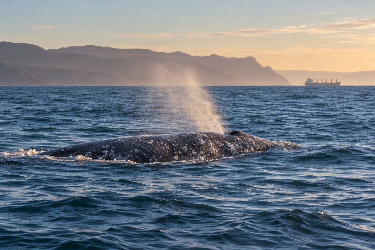
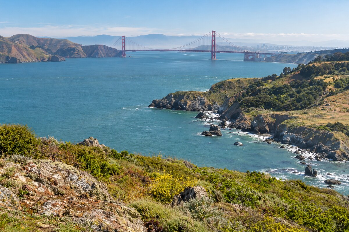
A new whale-detection network was unveiled in San Francisco Bay on May 19, 2026. It combines AI detection with human confirmation before warning nearby vessels. A camera on Angel Island monitors busy shipping routes; a ferry installation is planned. Daniel Zitterbart, a Woods Hole Oceanographic Institution physicist and WhaleSpotter’s chief scientist, described about fifteen years of development. Hundreds of thousands of thermal images trained the system to recognize whales and their blows, roughly two degrees Celsius warmer than surrounding water. Detections may reach seven kilometres, giving large vessels more time to respond.
Identifying the whales at risk
Gray whales, Eschrichtius robustus, have been appearing seasonally in the bay since 2018. Josephine Slaathaug of Sonoma State University and colleagues assembled a catalogue using opportunistic surveys and community photographs from 2018–2023, supplemented by systematic surveys from 2023–2025. The researchers identified 114 individuals, but only four appeared in multiple years. Their comparison with necropsy records depended on distinctive skin markings. Those markings disappear as carcasses decompose, limiting which dead animals could be matched reliably to photographs taken while they were alive.
Seventy gray whale carcasses were documented locally during 2018–2025. Of forty-five potentially identifiable carcasses, twenty-one matched the catalogue, establishing a minimum mortality rate of about eighteen percent among identified visitors. Thirty of the seventy carcasses showed vessel-strike injuries. These counts describe different sets of animals. Bekah Lane of the Center for Coastal Studies called for continued monitoring to locate risk within the bay. Slaathaug also emphasized that researchers lacked a complete daily account of each whale’s movements. Low profiles, fog and the Golden Gate Strait’s bottleneck complicate the overlap between whales and traffic.
Food supply beyond the bay
The whales’ feeding conditions have changed far from California. In October 2023, Oregon State University marine ecologist Joshua Stewart and collaborators linked major eastern North Pacific population swings to Arctic conditions. Their research combined long-term whale records with environmental data. NOAA’s Southwest Fisheries Science Center had monitored abundance, births, deaths and body condition for decades, including aerial photographs. Division director Dave Weller dated the record’s beginnings to 1967. The combined evidence connected the mortality events declared in 1999 and 2019 with sea ice and the biomass of seafloor crustaceans.
Stewart also identified a similar population decline in the 1980s, when lower reporting may have obscured strandings. Shorter periods of summer ice could initially improve access to feeding areas. Longer-term ice loss affected the food supply differently: algae beneath the ice sink and nourish benthic amphipods, while warmer water favors smaller crustaceans and faster currents reduce preferred prey habitat. Stewart attributed the prolonged recent decline partly to poorer prey conditions. Stewart questioned whether warmer Arctic waters could sustain the roughly 25,000 gray whales supported in the recent past.
What the mortality investigation established
NOAA’s investigation covered an unusual mortality event running from December 17, 2018 to November 9, 2023. The agency announced its closure on March 14, 2024, after the elevated stranding rate subsided. The investigation counted 690 strandings: 347 in the United States, 316 in Mexico and twenty-seven in Canada. Those were strandings across wintering, migratory and feeding areas. They were not an enumeration of every whale that died throughout the population’s range. The peak occurred between December 2018 and December 2020.

Necropsies identified malnutrition as a common cause of death without finding an underlying disease. Predation, entanglement and vessel strikes also caused deaths; biotoxins occurred in some carcasses. Investigators associated nutritional stress with localized ecosystem changes affecting access to prey and its quality in Subarctic and Arctic feeding areas. NOAA placed the 20,500-whale abundance estimate in 2019 and estimated 14,526 whales in 2023. Calf production fell from around 950 in 2018 to 217 in 2022, before increasing to 412 in 2023. Stranding networks continued responding and collecting samples after the event’s formal closure.
An early thermal field test
Thermal detection initially addressed underwater-noise mitigation. In a 2013 field study, Zitterbart, Lars Kindermann, Elke Burkhardt and Olaf Boebel evaluated a system aboard the research vessel Polarstern. A stabilized infrared scanner, mounted 28.5 metres above the sea, swept a full circle five times per second. Software identified changing thermal contrasts and classified likely blows. Its support-vector-machine training used 120 validated blow events and 1,400 non-blow events. The equipment operated for 280 days across seven expeditions to Arctic and Southern Ocean waters.
An independent encounter comparison found that the automatic system detected twenty-four of twenty-six visually recorded encounters. A separate cue comparison detected eighty-two percent of 303 visually observed blows within five kilometres. The system also found events missed by observers. Birds commonly produced false alerts, averaging about six per hour in the cue analysis. Fog, glare, sea state and a whale’s time underwater affected detection opportunities. Sampling concentrated on cold waters and a limited set of species. The researchers designed an alert for a human observer, with playback and documentation available for immediate verification.

Making cameras fit smaller vessels
By December 2020, WHOI engineers were adapting thermal monitoring specifically for vessel-strike mitigation. Zitterbart worked with Alessandro Bocconcelli, Daniel Gomez-Ibañez, Bob Petitt and Fred Thwaites. The earlier full-circle design was expensive. Narrowing its field of view and using miniature cameras and stabilizers reduced size, weight and cost enough for smaller vessels. During summer 2020, the team and Stellwagen National Marine Sanctuary colleagues tested a lighter, stabilized prototype on humpback whales from a research vessel off Massachusetts. Further trials and a North Atlantic passenger-ferry installation were planned for 2021.
The development program also included a land-based installation near a busy shipping channel in British Columbia, Canada, with British Columbia Ferry Services and federal fisheries support. That installation monitored Southern Resident killer whales. WHOI described elevated land installations capable of detecting whales up to ten kilometres away, depending on mounting height. Ship-mounted equipment offered a shorter warning range of several kilometres. Training examples included waves, birds, boats and whales, so classification could filter competing objects. A further verification stage was being developed to reduce false positives before warnings reached vessel crews.
A container-ship deployment
Matson Navigation Company committed $1 million to WHOI’s camera research and development and installed equipment on Manulani, Manoa and Matson Kodiak. The first two vessels served Hawaii, while the third served Alaska. Zitterbart developed the system with Aymeric Houstin, Lauren Stanley, Gomez-Ibañez and Miles Ochs. The stabilized cameras detected surfacings and blows, while the system supplied distance and bearing from the vessel. Its intended operational use was to give captains warning early enough to slow down or alter course.
WHOI reported 1,169 verified whale and dolphin detections during Manulani’s first three months with the equipment, at ranges up to 6,500 metres. The workflow sent probable detections for human review within fifteen seconds before transmission to captains. Those figures measured detections and review speed. Matson chairman and chief executive Matt Cox described camera adoption alongside existing schedule and routing changes intended to avoid West Coast whale conservation areas. He also expressed an intention to expand use across the fleet. The vessel installations supplied real-world data for continued research and technology development.

Combining sightings, calls and habitat forecasts
Whale Safe began operating in the Santa Barbara Channel in September 2020, following three years of collaborative work led by UC Santa Barbara’s Benioff Ocean Initiative. Project lead Morgan Visalli described a tool combining several forms of information. Researchers from WHOI, Scripps, Texas A&M University at Galveston, the University of Washington, UC Santa Cruz and NOAA contributed. The daily assessment drew on:
- Acoustic detections of blue, humpback and fin whales.
- Habitat forecasts using oceanographic conditions such as temperature and currents.
- Observations submitted through Whale Alert and Spotter Pro.
A hydrophone detected calls and processed them automatically; a surface buoy transmitted detections by satellite for scientists to check. Ana Širović led acoustic-data analysis at Texas A&M Galveston. Community observers contributed sightings from whale-watching and tourism vessels. Whale Safe combined the inputs into a daily presence rating ranging from low to very high. It also processed ships’ Automatic Identification System data to identify vessels and assess their speeds. The resulting ship and company report cards measured cooperation with voluntary speed requests in whale habitat, alongside the daily whale-presence information.

Taking Whale Safe to San Francisco
The San Francisco expansion launched in September 2022. The Marine Mammal Center, Point Blue Conservation Science and Cascadia Research Collective joined institutions involved in the Santa Barbara system. Oregon State University’s Marine Mammal Institute contributed data. The expansion addressed a second area where feeding whales and large cargo vessels shared coastal waters. Callie Steffen, a Benioff Ocean Science Laboratory project scientist, identified blue, fin and humpback whale feeding grounds and the Los Angeles–Long Beach–Oakland shipping route among the reasons for choosing the Bay Area.
The regional installation required changes to the acoustic buoy’s mooring because seafloor depths differed from those in the Santa Barbara Channel. Satellite-informed blue whale habitat and feeding models supplied another information layer. The system monitored large vessels in NOAA’s voluntary speed-reduction zone, where ships were asked to travel at ten knots or less. Steffen described sharing vessel analytics with shipping companies and their retail partners. The architecture brought acoustic observations, habitat predictions and reported sightings into a public map, while cooperation grades connected the information service to the behavior of participating vessel operators.
An acoustic warning network
Acoustic systems supplied a complementary way to observe whales that vocalized below the surface. In July 2022, WHOI and CMA CGM deployed a monitoring buoy thirty-three miles off Norfolk, Virginia. Another installation off Savannah, Georgia, was scheduled for the following weeks. The ports were chosen because their shipping activity overlapped migrating North Atlantic right whales. Project principal investigator Mark Baumgartner described the additions to an East Coast network of six similar buoys. The planned pair would bring that network to eight sites serving industry, government and public users.

Each buoy carried an instrument that detected and classified marine-mammal sounds and transmitted information ashore every two hours. An acoustician examined the data to identify the species present. Results appeared publicly on Robots4Whales and were shared with mariners. Detections could activate NOAA’s voluntary Slow Zones for Right Whales along the eastern seaboard. WHOI and CMA CGM also planned an industry consortium to support the buoys’ continued operation and reduce vessel risks. The installation combined equipment deployment, recurring review and communication with the people operating ships near important ports.
Keeping the observations running
A January 2026 agreement extended CMA CGM’s support for operation and maintenance of the Norfolk and Savannah acoustic buoys. The company had supported those sites since 2022. Baumgartner, by then a WHOI senior scientist and project lead, described an eleven-buoy East Coast network. The two busy-port locations remained part of that wider observing system, sharing detections with CMA CGM’s fleet center as well as mariners and public users.
The continued partnership maintained observations along an eastern coastal migration corridor where whales travelled between southern calving waters and northern feeding areas. Many right whales, including pregnant females, travelled more than a thousand miles along the coast to reach warmer southern waters. Their movements passed the two busy ports. Detected right whales could trigger voluntary speed-reduction areas, with an acoustician identifying species from the transmitted sounds. The renewal supported continued operation of the observing equipment and the information service used for those dynamic protections.

Measuring slower transits
The Protecting Blue Whales and Blue Skies program separately assessed vessel-speed cooperation during its 2025 season. Its March 2026 results covered 787 vessels from forty-four shipping lines travelling more than 481,000 nautical miles at reduced speeds. The program used AIS records to assess participating fleets’ cooperation, then worked with research partners to estimate environmental effects. These records described transits through California speed-reduction areas. They provided a separate assessment of vessel behavior alongside the detection technology supplying information about whales.
University of Washington researcher Anna Nisi estimated forty percent lower fatal-strike risk for blue, fin and humpback whales relative to vessel transits in the same areas in 2016. The updated model incorporated newer research on vessel speed and collision lethality. Nisi cautioned that collisions with large vessels remained likely to be lethal even at lower speeds; slower travel gave whales more time to avoid an approaching ship. The result was a modeled comparison with a historical transit baseline. It did not count gray whales saved by San Francisco’s newly installed thermal cameras.

Gray whales migrate along a roughly 16,000-kilometre route. The new bay deployment followed twenty-one gray whale deaths in and around San Francisco Bay in 2025, about two-fifths attributed to ship strikes. Benioff Ocean Science Laboratory director Douglas McCauley expected it to save lives. Slaathaug welcomed the collaboration while expressing cautious optimism. Additional cameras at the Golden Gate Bridge or Alcatraz remained possibilities. Scientists would verify each detection before an alert reached nearby vessels, leaving mariners to take the appropriate action.


















Leave a comment